GM is already Mobileye’s largest customers, and is involved in the Mobileye Road Experience Management project, which seeks to create a continuously-updated road map. The carmaker believes installing Mobileye software on camera-equipped vehicles, and using OnStar as a conduit for the data, can create more accurate maps more quickly. Those maps would then be used to help self-driving cars know their surroundings.
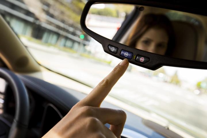
Many GM cars are already equipped with cameras anyway. They’re used for driver-assistance systems like adaptive cruise control. And the company has the capability to pull data from vehicles using its OnStar link; it’s been mulling ways to capitalize on that capability for some time.
Under this scheme, OnStar would presumably do the mapping work by just driving around, a much simpler option than dedicated camera cars like the ones used for Google Maps. Toyota actually discussed a similar concept at the 2016 Consumer Electronics Show (CES). Like GM, it plans to use data from cameras already installed in production cars to create maps for future self-driving cars.
As for the cars themselves, GM announced at CES that it is partnering with Lyft to develop an “integrated network of on-demand autonomous vehicles in the U.S.” GM will invest $500 million in the ride-sharing company, and will join its board of directors. The move places Lyft in direct competition with Uber, which is conducting its own autonomous-car research.
In addition, GM plans to deploy a fleet of autonomous 2017 Chevrolet Volts at its newly renovated Warren Technical Center in Michigan. The self-driving Volts will shuttle employees around the facility, their movements coordinated by a ride-sharing app.

