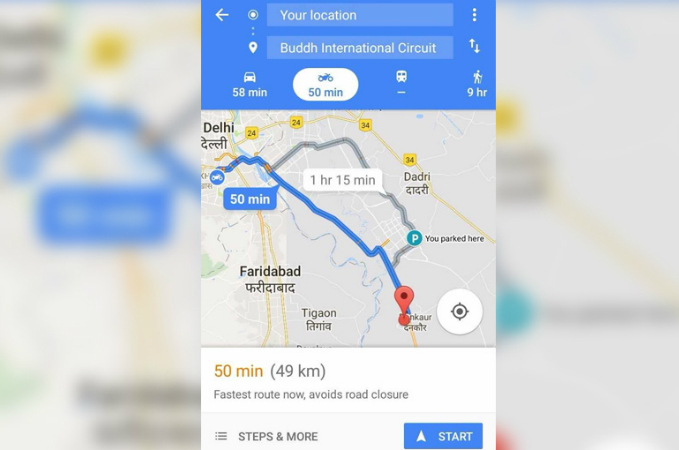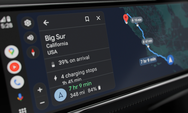
Google Maps for motorcycles is now live in much of eastern Asia, according to RideApart.
After initial testing in India, Google Maps has now rolled out the motorcyle transportation choice option in Indonesia, Malaysia, Myanmar, Hong Kong, Taiwan, Thailand, Vietnam, and the Philippines.
The motorcycle feature in Google Maps includes roads and routes that are not accessible to cars and trucks, according to NDTV. When a user selects motorcycle transportation with Google Maps, the routing software looks for the bike-only shortcuts to provide two-wheeler-centric traffic and travel duration and arrival estimates.
Taking advantage of narrow lanes and passageways in small towns and big cities alike could help riders avoid traffic congestion en route. Anticipating roads that prohibit motorcycle traffic can also save the aggravation of re-routing on the fly.
Speaking at a Google Maps for motorcycles launch event in Thailand, Google Maps head of product Krish Vitaldevara said the software would often use landmarks such as hospital and hotels rather than street names that could be harder to find and read, The Verge reported. Google’s goal is to train drivers to read the directions before heading out and look for landmarks, rather than watching their smartphone while traveling in highly congested traffic, Vitaldevara said.

There’s no mystery why Google rolled out the motorcycle feature first in India and then in other parts of Eastern Asia: the company is simply following the market. India is the largest market for two-wheeled motorized transportation in the world, according to The Times of India. At a time when motorcycle sales are lagging in the U.S., sales in India were up significantly in 2017, driven in part by government spending on major rural road construction projects.
- Learn to use Google Maps with these handy tips and tricks
- Waze vs. Google Maps
- Apple Maps vs. Google Maps
- Augmented reality’s latest trick? Simplifying directions on Google Maps


