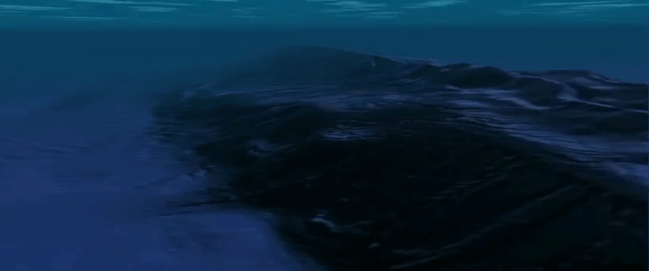
It can be hard to remember, while staring at a computer screen all day, that we landlubbers make up only 29% of the Earth’s surface. Now you can join the life aquatic, exploring the mysterious depths of the ocean while affecting a French accent, thanks to a new Google Earth update.
The new Ocean feature contains data from more than two decades of research and 500 ocean cruises thanks mainly to the curating work of the Columbia University Lamont-Doherty Earth Observatory. Data comes from a variety of research entities including the Monterey Bay Aquarium Research Institute, the University of Hawaii, the U.S. military and University of Washington. The Ocean layer update coincides with World Ocean Day, a celebration proposed by the United Nations to raise global awareness over ocean related problems.
The high res maps cover an area about as large as North America, which is still only a small percentage of the world’s seafloor. Users will be able to view seafloor volcanoes, canyons, summit craters and calderas—it’s like viewing a whole new world.
A few spots to check out as pointed out by the Seafloor virtual tour are: New York’s Hudson Canyon, the Pacific’s Lamont seamount, the 10,000 foot high Mendocino Ridge, giant squid hangout Kermadec trench and more. Be sure to check out the Deep Sea Ridge Tour as well if you’re interested in volcanoes.
Though Google Ocean has been around for close to two years now, but the update sharpens resolution. According to TechCrunch, the interactive maps help scientists with their research on phenomenon like tsunamis, earthquakes, volcanic eruptions, changes in sea levels and even helps in understanding man-made disasters.
To get underwater, download the new layers of map data, zoom in on the multi-colored lines which detail the research voyages, zoom in as far as possible on the ocean area and then drop the Street View icon.


