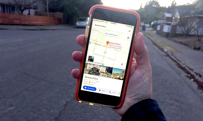
Just to show that Google Maps have a lot of potential, London’s Metropolitan Police are trying out the technology alongside their crime data to offer users a crime map of London.
The map allows viewers to see which of the 32 boroughs are enjoying more or less crime than in previous years, and which lie above or below the average crime rate for the capital. Currently Southwark, with over 100 reports between May and June, is bottom on the league table.
Users can search by postcode, or zoom into specific neighborhoods to check results.
"The mayor made crime mapping a key manifesto commitment and it is an integral part of our strategy to make London safer," Kit Malthouse, deputy mayor for policing, told the Guardian.
"It is a proven technique for increasing public safety and putting extra resources into crime hotspots where they are most needed."
Initially the maps will only show burglary, robbery and vehicle crime incidents. The project will have a formal launch next month. Four other police forces are also trialling crime maps.


