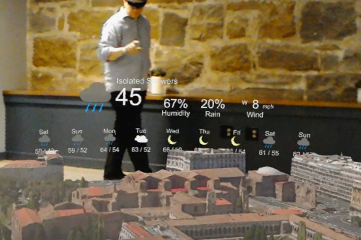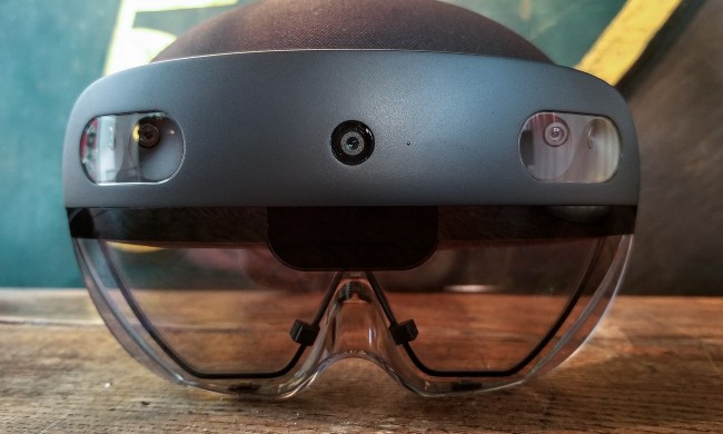
“HoloMaps displays topography, infrastructure, and buildings in 3D while integrating data sources to bring contextually relevant information into the map. Collaborate and present to colleagues in the same room or remotely,” the company states.
According to Taqtile, HoloMaps users can annotate holographs, models, and collaborate and/or showcase holographic presentations to local individuals or other clients/partners that are not physically present. The app can also be used to capture pictures and videos for presentations and sharing.
One of the first companies to test HoloMaps was the PGA Tour organization during the 2016 Players Championship. The platform was customized to project a 3D-holographic version of the championship’s home golf course, the TPC at Sawgrass, in Ponte Vedra, Florida. The map included geolocated data from the tour’s Shotlink tool to help with providing accurate shot analysis, golf course management, corporate tent layout management, and more.
Taqtile said on Tuesday it recently worked with Microsoft to showcase its Enterprise Edition of HoloMaps at the Redmond, Washington, company’s Microsoft Technology Centers. The company also released a Store Edition version of its app that relies on Bing 3D to provide 3D models of more than 200 cities and landmarks. This version provides a solo experience that can be scaled to nearly any size and is fueled by data piped in from other sources such as geotagged tweets from Twitter, the current weather forecast, traffic incidents, and more.
“The list of use cases for HoloMaps is extensive because the sources of data are endless,” Taqtile cofounder Dirck Schou said. “Think about how you currently visualize spatial data on flat monitors and on paper. Now think about how you would do that in 3D, and how interactions of data can be represented, which is difficult because it hasn’t been done before.”
As an example, Schou indicated HoloMaps would be a great tool for city planners. The HoloLens app provides means for visualizing utilities, demographics, and traffic flows. All of that data is pumped into HoloMaps at the same time, and to all participants in real time whether they are standing in the same office or seated at different desks across town.
In another example, HoloMaps could be used in an emergency such as a terrorist attack or a downtown traffic jam caused by a nasty wreck. City officials or agencies scattered across town could slap on their HoloLens, pull up a 3D representation of their city, and collaborate with each other in a makeshift virtual “command center.” Policemen, firefighters, and other on-ground responders with HoloLens could even tune in to see the notes provided in real time by the officials.
“HoloMaps is going to be a game-changer,” Schou added.


