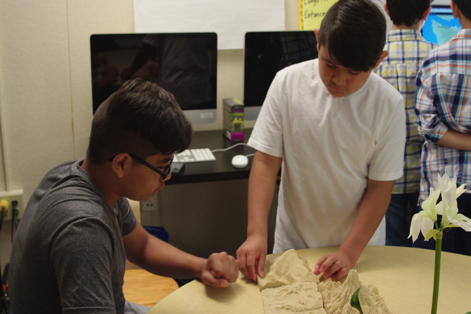
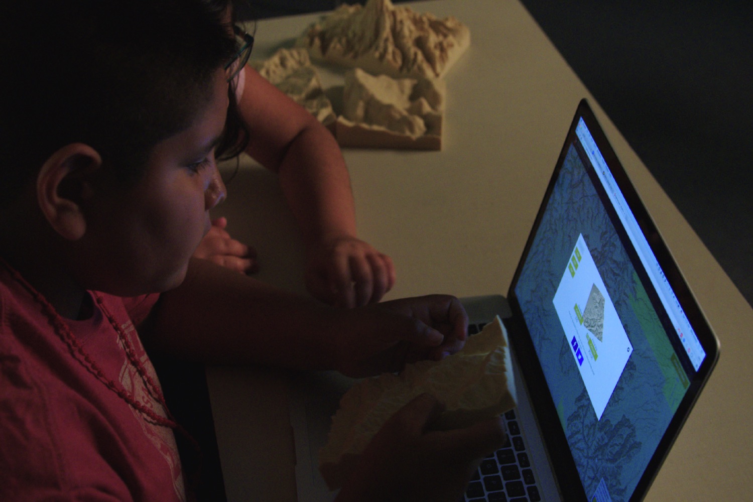
Called Sightline Maps, the project promises to give schools the ability to easily generate accurate 3D-printed topographical maps to bring a variety of learning scenarios to life.
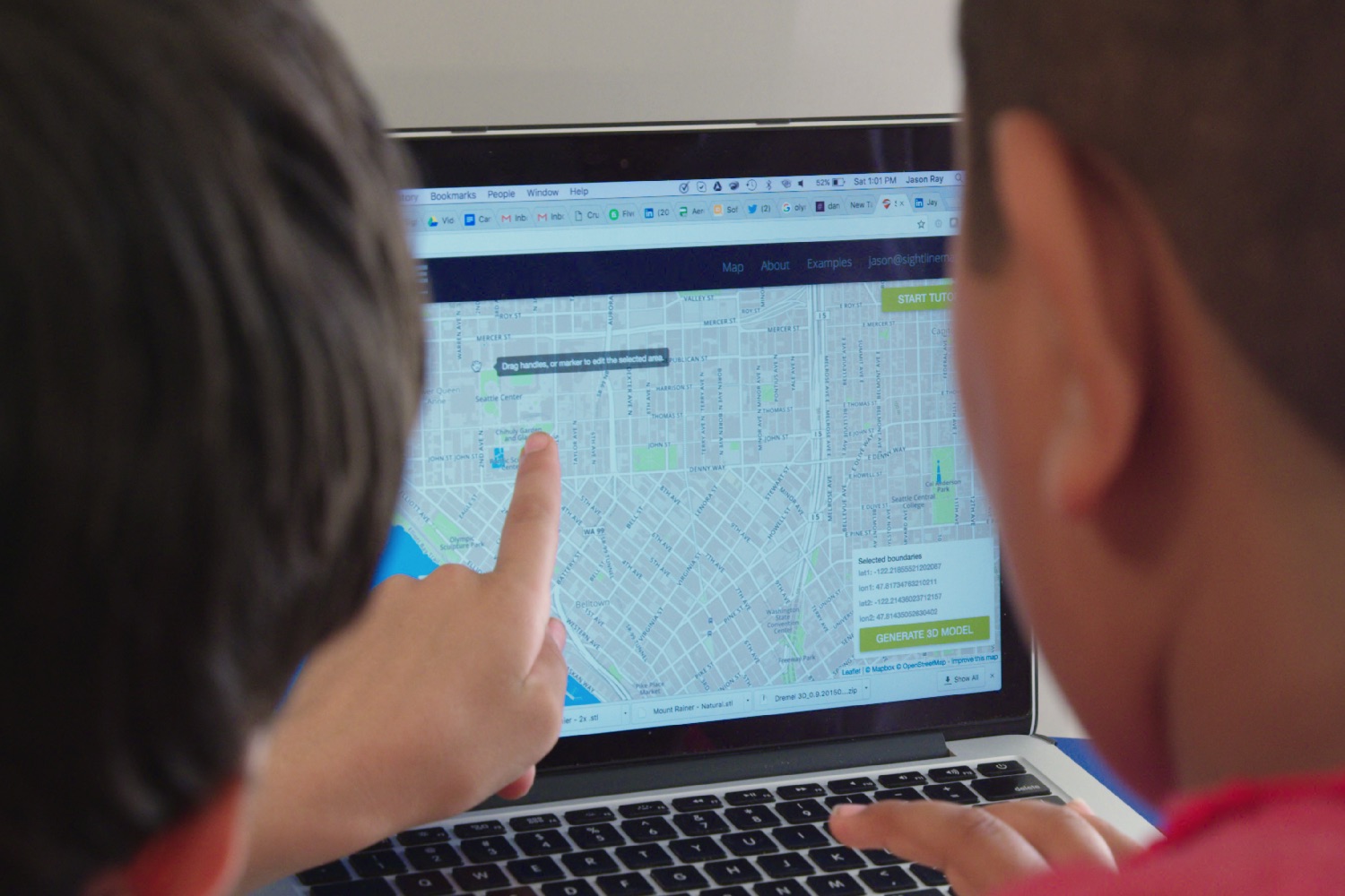
“What the software does is to take GIS (geographic information system) map data and convert it into a point-cloud, which lets you create a 3D file,” Jason Ray, one of Sightline’s three co-founders, told Digital Trends. Teachers can use this three-dimensional data either to show students the 3D models on-screen, or to print it out to use as a learning aid.
“For example, a history teacher teaching about Hannibal crossing the Alps could 3D-print a model of the Alps to help students understand how treacherous the terrain was,” Ray continued. “A geography teacher could print a scale model of Mount Everest and also the largest mountain or hill in their class’ state, and use this to spatially give kids an understanding of the world around them. It lets teachers easily communicate in a much more visual way.”
Ray explained that his co-founder Ben Judge first developed the idea while serving in the Navy Reserve. The tech to convert satellite map images into topographical 3D-printed maps was originally developed for mission planning. “Typically the topography of a site was done in a sandbox,” he explained. “This represented a much better way at depicting the geography of an area.”
The goal of Sightline’s Kickstarter is to get Sightline’s software into more than 400 schools around the world. For every $100 the campaign raises, schools will get one year of access to the technology — which includes the ability to easily generate 3D files from map, as well as lesson plans for incorporating the smart tech. People supporting the Kickstarter will receive custom topographic models, in addition to selecting the school they want to support.
“I think a lot of teachers are in the same position that we are,” Ray said. “They didn’t grow up with this technology in the classroom, so often they don’t know exactly how to fit it into the lessons they’re teaching. As a result 3D printers can sometimes sit there, gathering dust. What we wanted to do was to come up with use-cases for subjects that may not obviously have applications for digital mapping or 3D printing.”
It’s too early to say how big a success it will be, but it’s definitely a neat idea.
We’re just disappointed that we went to school at a time when the most exciting classroom accessory was the class gerbil!


