Update: launch of IceSAT is scheduled for this weeekend.
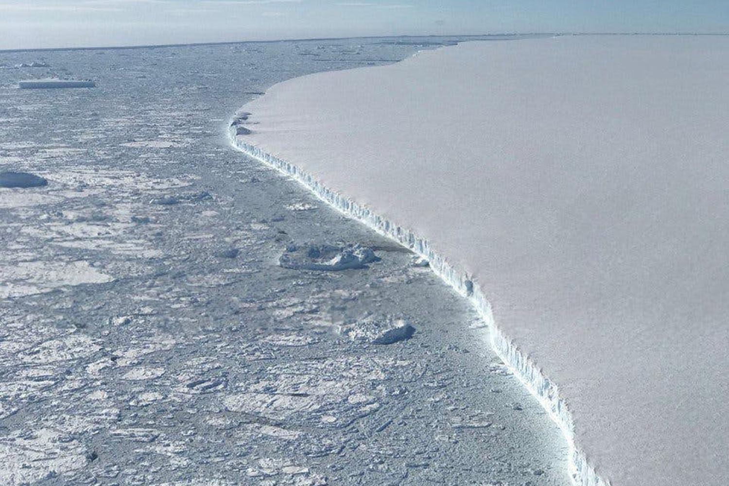
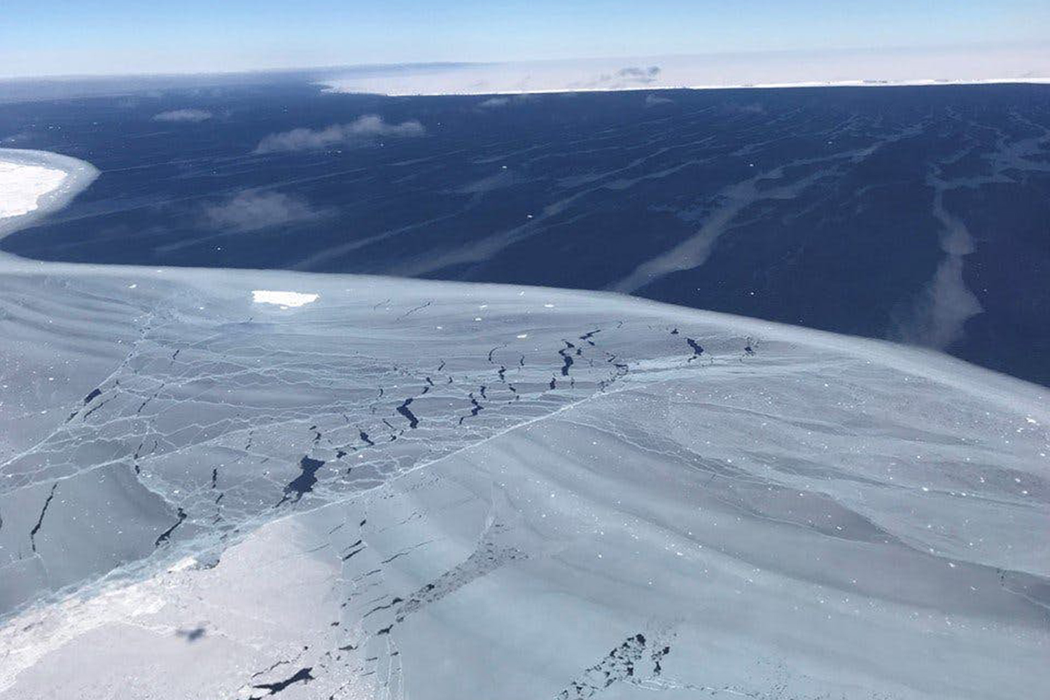
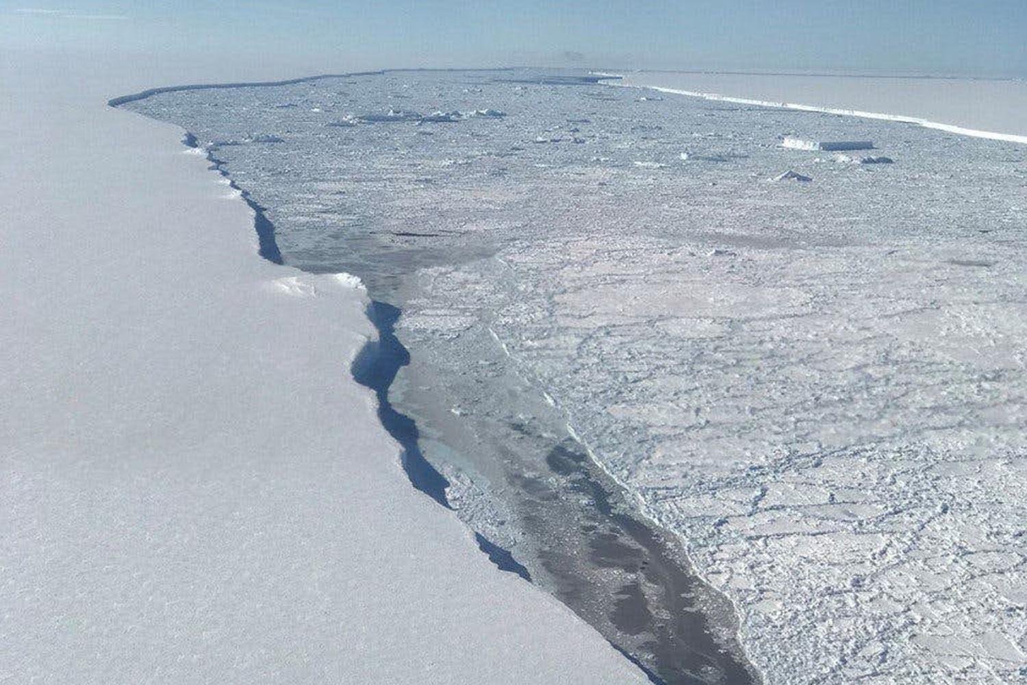
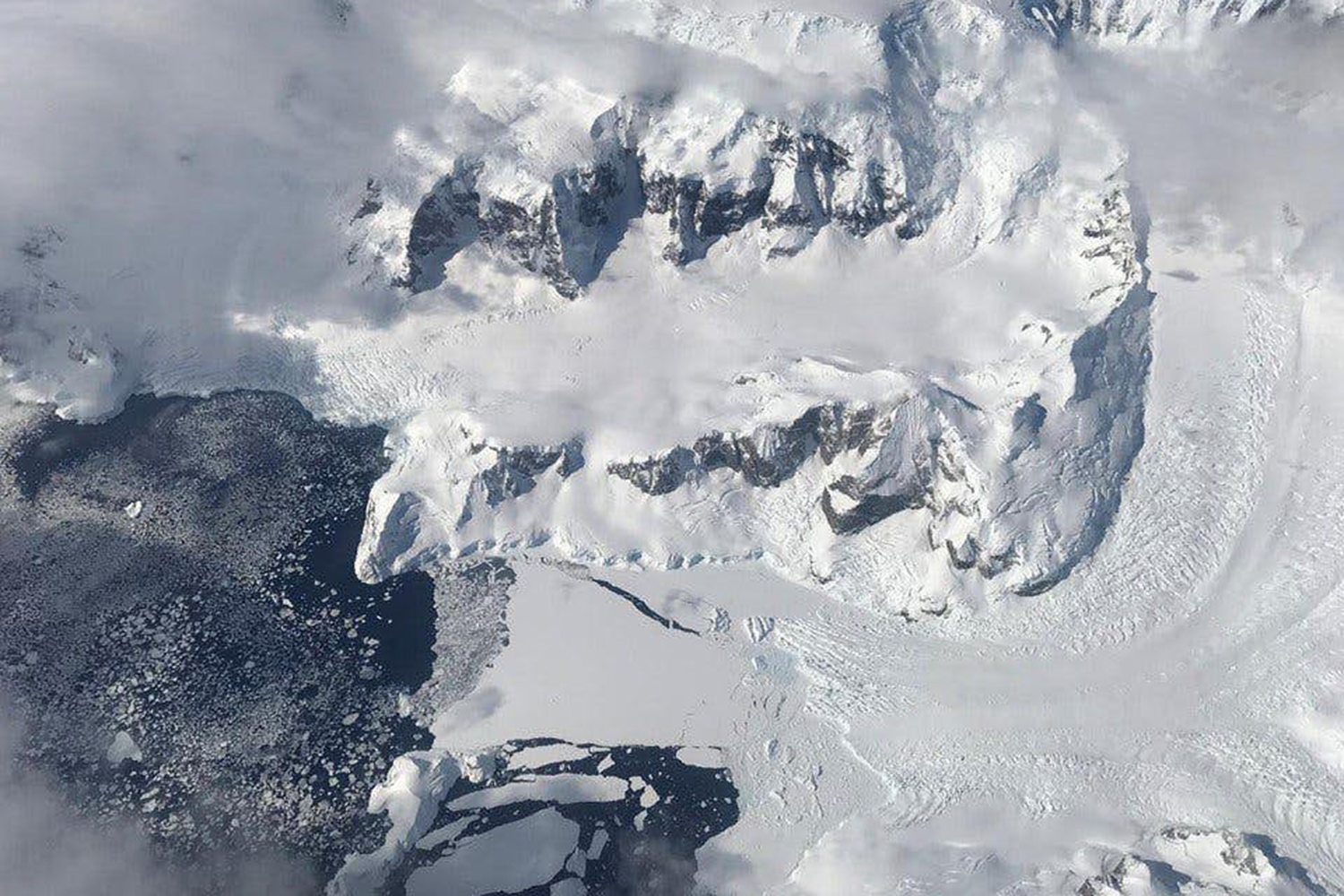
Earth’s poles are the frontlines in the dramatic tale of climate change, where the impacts of increased temperatures can be seen firsthand as massive ice sheets break off and crash into the sea. Tracking glaciers helps understand the consequences of climate change elsewhere — see, for example, sea level rise — and scientists will soon have new tools to enable them to measure polar ice decline in unprecedented detail
In September, NASA is scheduled to launch an advanced satellite called ICESat-2 (short for Ice, Cloud, and land Elevation Satellite-2), which scientists will use to measure changes in elevation of land ice in polar regions like Greenland and Antarctica. The satellite’s on-board laser can make a whopping 60,000 measurements each second, with precision to within the width of a pencil.
“The new observational technologies of ICESat-2 — a top recommendation of the scientific community in NASA’s first Earth science decadal survey — will advance our knowledge of how the ice sheets of Greenland and Antarctica contribute to sea level rise,” Michael Freilich, director of NASA’s Earth Science Division, said.
NASA has been using satellites to monitor polar ice for 15 years, but ICESat-2 makes significant advances on the agency’s prior campaigns. Among its technological improvements, the new satellite comes equipped with a highly advanced instrument called the Advanced Topographic Laser Altimeter System (ATLAS). By beaming light particles from space to Earth and back, ATLAS can measure the height of ice by calculating how long it takes the light to return.
“ATLAS required us to develop new technologies to get the measurements needed by scientists to advance the research,” Doug McLennan, a project manager for ICESat-2, said. “That meant we had to engineer a satellite instrument that not only will collect incredibly precise data, but also will collect more than 250 times as many height measurements as its predecessor.”
Polar ice melt is felt around the world. About a third of global sea level rise is attributed to melting ice in Greenland and Antarctica, according to NASA. The rate at which sea level is rising is increasing as global temperatures continue to rise.
ICESat-2 will help track these changes, while monitoring regions beyond the poles. ATLAS is also designed to measure treetops and determine how much carbon is stored in forests around the world.
The satellite is set to launch from Vandenberg Air Force Base in California on September 15.


