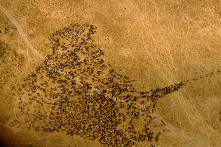
In an effort to predict how climate change will affect some animals in the future, The Nature Conservancy and the University of Washington teamed together to create Migrations in Motion, an interactive map that depicts where animals might migrate once sea levels and temperatures rise.
Migrations in Motion shows the winding paths of over 2,900 species of birds, mammals, and amphibians in blue, magenta, and yellow. Dots with ghostly tails seem to rise like hot air up from the United States into Canada and Alaska. When you zoom in, hundreds of yellow streamers flee north-west from Brazil into Ecuador. The vibrant colors and black maps are at once gorgeous, eerie, and disconcerting.
To develop the map, The Nature Conservancy ecologist Dan Majka and his team utilized flow models from electronic circuit theory, which enable the map to incorporate obstacles like cities, mountain ranges, and bodies of water when determining how the animals could travel. “Around the Great Lakes, for example, you’ll see that species steer around them, since most can’t go through water,” Majka told Wired. “Or through New York City.”
Migrations in Motion doesn’t just offer predictive visuals on the effects of climate change — it also offers suggestions for what we can do to help these animals migrate through and around our urban sprawl. For one, removing or limiting fencing helps mammals move more easily. Birds may be able to fly over major roadways but amphibians and mammals would benefit from wildlife overpasses and underpasses.
The researchers also note that, although their data offers a valuable “big picture view” it doesn’t represent local patterns, so there’s no need to worry that 2,900 species will come marching through your town. At the same time, that big picture view should make us presently aware of our role in a drastically changing climate.


