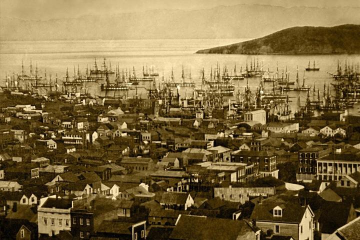
Titled OldSF, this new project lets you zoom in on certain parts of the City by the Bay, whereupon you’ll be able to access photos as far back as 1850, and as recent as 2000. In total, Vanderkam and Keller geocoded some 13,000 images.
And it wasn’t an easy feat — if you check out the Collection’s website, you’ll see that finding its vast database requires considerable effort to trek through (though it is well organized). The site notes: “Apartment buildings have not been digitized. Businesses are arranged by business name and churches are organized by denomination. In addition, all of the transportation lines have been digitized — the building may be in the background of a transportation photograph.”
While the city may be known today as the technological capital of the U.S., these old photographs show that wasn’t always the case. The streets that are now known for Google shuttles and hipster coffee shops are steeped in nostalgia — you can check out the views from City Hall, the Baldwin Hotel in its heyday (it’s now permanently closed), and various views of Central Park.
And apparently, people can’t get enough of this new project. Good luck actually visiting OldSF online — most eager history buffs are being greeted with a message that reads, “This application is temporarily over its serving quota. Please try again later.” Because apparently, a lot of people want to see what San Francisco looked like before it was … well, San Francisco.


