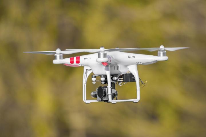
The Federal Aviation Administration in the U.S. is at the forefront of official moves to get drone use under control, and the agency just released a new smartphone app that tells you exactly where you can and can’t fly your drone. The update isn’t yet public but it’s been sent out to 1,000 beta testers and will be arriving for everyone in the near future.
You simply type in the location you want to fly and the ‘B4UFLY’ app tells you whether you’re allowed to or not — it takes into account the location of airports, helipads, no-fly zones (like the one in Washington DC) and any Temporary Flight Restrictions (TFRs) current issued by the FAA. The app essentially offers a real-time, location-specific interpretation of the FAA’s existing rules for drone use.
The organization has been asking for volunteers to test the app since May, though the software itself has only just been issued. “Many unmanned aircraft users today have little or no aviation experience, and some of them are flying where they could endanger manned aircraft,” explains the FAA’s press release. “B4UFLY will give these flyers the tools and knowledge they need to operate safely.”
Right now the app is iOS-only but the Federal Aviation Administration says the final version will be available on Android after “several months” of testing. It should offer a simple, straightforward way of removing any doubt about whether you’re within FAA regulations. And once personal drone use has been sorted out, there’s the issue of commercial operations to address.


