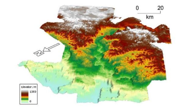
Geologists have discovered an ancient underwater landscape more than a mile beneath the surface of the North Atlantic Ocean. The 56-million-year-old landscape, which was uncovered by a team of researchers from the University of Cambridge, UK, whose findings appear in the July 10 issue of scientific journal Nature Geoscience, reveals evidence of human inhabitants.
The team, led by Cambridge graduate student Ross Hartley, used images created using an echo-sounding technique that bounces sound waves off the sea floor to develop a map of the landscape. The data was collected by a seismic contracting company that gathers information for oil companies, reports FoxNews.com.
The 3,861 square miles of newly discovered landscape is located just west of the Shetland Islands, which are located between northern Scotland and Norway, at the convergence of the Norwegian Sea and the North Sea.
The research team has so far found a total of eight major rivers in the covered landscape. And rock samples taken from the sea floor show evidence of pollen and coal, which suggests humans once inhabited the land. Harley and his team predict that the sunken land mass once connected Scotland to Norway.
What remains one of the primary mysteries of this discovery is why the landscape, which geologic evidence shows was once above sea level, now resides about 1.2 miles under water.
Their answer so far is that the Icelandic Plume, which carries magma from deep within the Earth’s mantle, emitted a “giant hot ripple” of molten rock, which pushed the lost land up above the water. Eventually, the ripple passed, and the land receded back to its water depths.


