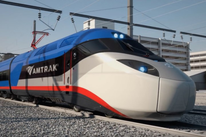
The update builds upon Apple’s previously unveiled support for northeast routes, but seeing as Amtrak runs across the entirety of the country, so too now does Apple Map’s coverage. Whether you’re traveling in the Midwest, Northwest, South, or West (or even in Montreal and Vancouver), you can plan your trip using Apple Maps.
Directions are actually quite detailed, as Apple Maps will tell you what time you need to leave your current location, what Amtrak route you’ll need to take, where to transfer, and all those other little details that make planning a trip so stressful. But now that it’s all spelled out on your phone, maybe taking that fall break will be a little less anxiety inducing.
Of course, in order to take advantage of these new features, you’ll have to live in a city where Apple’s mass transit directions are available — so if you’re starting out or ending up in an idyllic spot in the middle of nowhere, you may need a bit more help than just Apple Maps. All the same, it’s a significant step up from what was previously available, and just might make traveling this holiday season less of a hassle.
A full list of supported routes can be found below:
MIDWEST
• Blue Water operating between Chicago and Port Huron, Michigan.
• Wolverine operating between Chicago and Pontiac, Michigan.
• Cardinal operating between Chicago and New York City.
• Southwest Chief operating between Chicago and Los Angeles.
• Texas Eagle operating between Chicago and San Antonio.
• California Zephyr operating between Chicago and Emeryville, California.
• City of New Orleans operating between Chicago and New Orleans.
• Empire Builder operating between Chicago and Portland/Seattle.
• Illinois Service operating between Chicago and Carbondale, Illinois.
• Pere Marquette operating between Grand Rapids, Michigan, and Chicago.
• Capitol Limited operating between Washington, D.C., and Chicago.
• Hoosier State operating between Indianapolis and Chicago.
• Hiawatha operating between Milwaukee and Chicago.
• Missouri River Runner operating between St. Louis and Kansas City in Missouri.
CALIFORNIA
• Capitol Corridor operating between Auburn, California, and San Jose, California.
• Coast Starlight operating between Seattle and Los Angeles.
• Pacific Surfliner operating between San Luis Obispo, California, and San Diego.
• San Joaquins operating between San Francisco area and the Bakersfield area in California.
• Sunset Limited operating between New Orleans and Los Angeles.
SOUTH
• Auto Train operating between Lorton, Virginia, and Sanford, Florida.
• Carolinian operating between New York City and Charlotte, North Carolina.
• Crescent operating between New York City and New Orleans.
• Silver Service/Palmetto operating between New York City and Tampa/Miami.
NORTHWEST
• Amtrak Cascades operating between Vancouver, B.C., and Eugene, Oregon.
WEST
• Heartland Flyer operating between Oklahoma City and Fort Worth, Texas.
Additional northeastern routes such as the Adirondack, operating between Montréal, Québec and New York, and the Downeaster, operating between Brunswick, Maine, and Boston, are also now supported.


