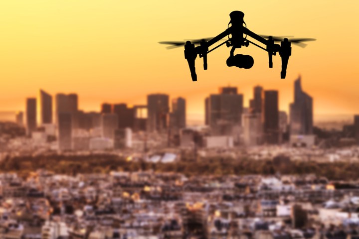
According to a report from Bloomberg, “Apple wants to fly drones around to do things like examine street signs, track changes to roads, and monitor if areas are under construction.” The publication’s source also noted that the resulting data would be transmitted to the Apple teams responsible for updating the company’s Maps app in order to provide the most up-to-date information to its users.
And it won’t just be the great outdoors that the drones will explore. Rather, it would appear that in its quest to best Google, the iEmpire is also taking a closer look inside buildings — after all, the company did acquire Indoor.io in 2015, ostensibly for the purpose of pursuing an indoor mapping project. The hope is that such a feature would help folks find their way in large, busy indoor spaces, like airports, museums, or malls.
Apple is also allegedly focusing on helping drivers better determine when to change lanes with the Maps app by further improving its navigational tools. It should be noted that Apple has yet to confirm either one of these new features, though Bloomberg’s sources claim that, should all go according to plan, the public will see these updates by next year.
So if you’re not all that confident in your sense of direction, never fear. Apple is looking out for you, whether it’s out of doors, indoors, or within your car doors.


