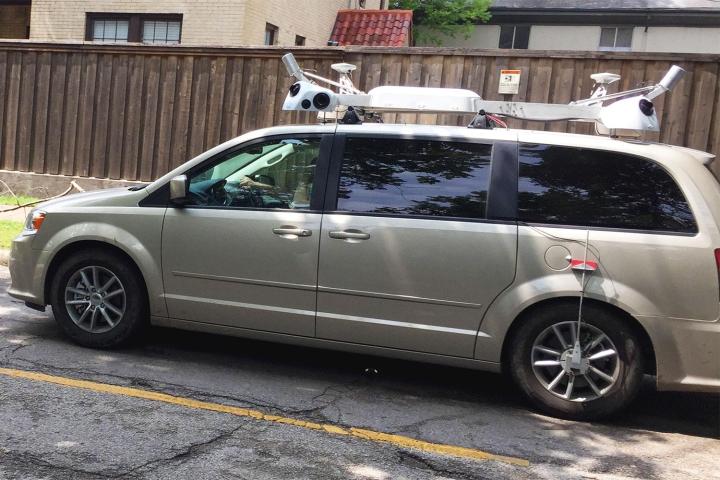
An update on Apple’s website reveals the company is gearing up to take its cars to various counties in 24 U.S. states by the end of this month, as well as multiple locations in the U.K. and Ireland, including London and Dublin.
The company announced last month that it’d be driving its vehicles “around the world” to collect data for its Maps offering. Specifically, Apple is believed to be gathering imagery of business storefronts to take the place of Yelp data which is currently used by its Maps app, and also 3D street-level photos to complement its Flyover feature that offers Maps users an aerial view of a number of cities and famous landmarks.
Assurances by the tech giant stating its intention to “blur faces and license plates on collected images prior to publication” suggest Apple is also looking to build a database of Google-style Street View imagery for its app.
Recent reports claim the Cupertino company is looking to switch to an in-house mapping database in the next three years. The move would lessen its reliance on third-party data providers such as TomTom.
Following a troubled launch in 2012, Apple has been working diligently to bring its Maps offering up to speed, making a number of startup acquisitions and hiring a slew of skilled engineers along the way.


