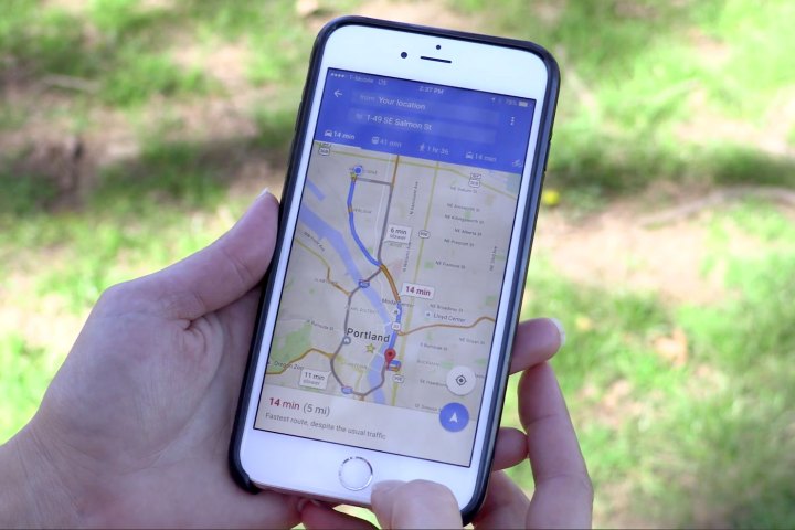
There’s no perfect solution, but search giant Google said it has settled on what it regards as a satisfying balance. On Monday, it announced an update to Google Maps that streamlines and significantly “cleans up” the mapping app’s interface on Android, iOS, and the web.
How did the Maps team accomplish that, exactly? By eliminating every listing, line, and geometric shape deemed even the tiniest bit superfluous. That approach, in tandem with the rollout of “improved typography” for street names, points of interest, and transit stations that don’t blend into the cartographic background as much as the old font tended to, was surprisingly effective at making traffic information easier to spot. “We’ve removed elements that aren’t absolutely required … [and] the result is a cleaner look that makes it easier to see helpful and actionable information,” wrote Google Maps UX Designer Zhou Bailiang in a blog post.

All that extra room gave the Google Maps team space for something new: “areas of interest,” or regions shaded in orange that indicate high concentrations of restaurants, shops, museums, and monuments. These hot spots, which Google said it identifies using a combination of machine magic — an “algorithmic process,” wrote Google Local Software Engineer Mark Li — and human curators, reveal detailed information about venues. Zoom in and tap on one and you’ll get hours, reviews, and website links, among a myriad of other useful tidbits. “Whether you’re looking for a hotel in a hot spot or just trying to determine which way to go after exiting the subway in a new place, ‘areas of interest’ will help you find what you’re looking for with just a couple swipes and a zoom,” said Li.
The final piece in the usability puzzle, said Google, was adopting a more “subtle and balanced” color scheme — in other words, a literal fresh coat of paint. “Man-made surroundings” like freeways and highways were recolored shades of yellow and orange, while “natural features” like water got splashes of deep blue. The overall effect is quite calming.

The new update rolls out to Maps on iOS, Android, and the web today.
In addition to the new look, Google has begun testing new Maps features: a Wi-Fi mode and transit notifications. The former, which has appeared in the app’s settings menu for some users, allows the app to operate effectively without a cellular connection — a feature that’ll no doubt come in handy for users brushing up against their monthly data cap. Transit notifications, meanwhile, come in the form of customizable real-time alerts delay and cancellation alerts — select subways lines and buses, and Maps will notify you of future disruptions.
Wi-Fi mode and transit notifications, unlike today’s aesthetic improvements, aren’t rolling out to everyone just yet — Google said they’ll launch in stages. Patience is a virtue, they say.
Editors' Recommendations
- Google is making it easier for you to find and download Android apps
- Google Maps is getting improved Live View navigation, more detailed map data
- Apple Maps vs. Google Maps: Which one is best for you?
- Google Maps reminds you to wear a mask in new update
- Google celebrates 15 years of Maps with new features and redesigned logo