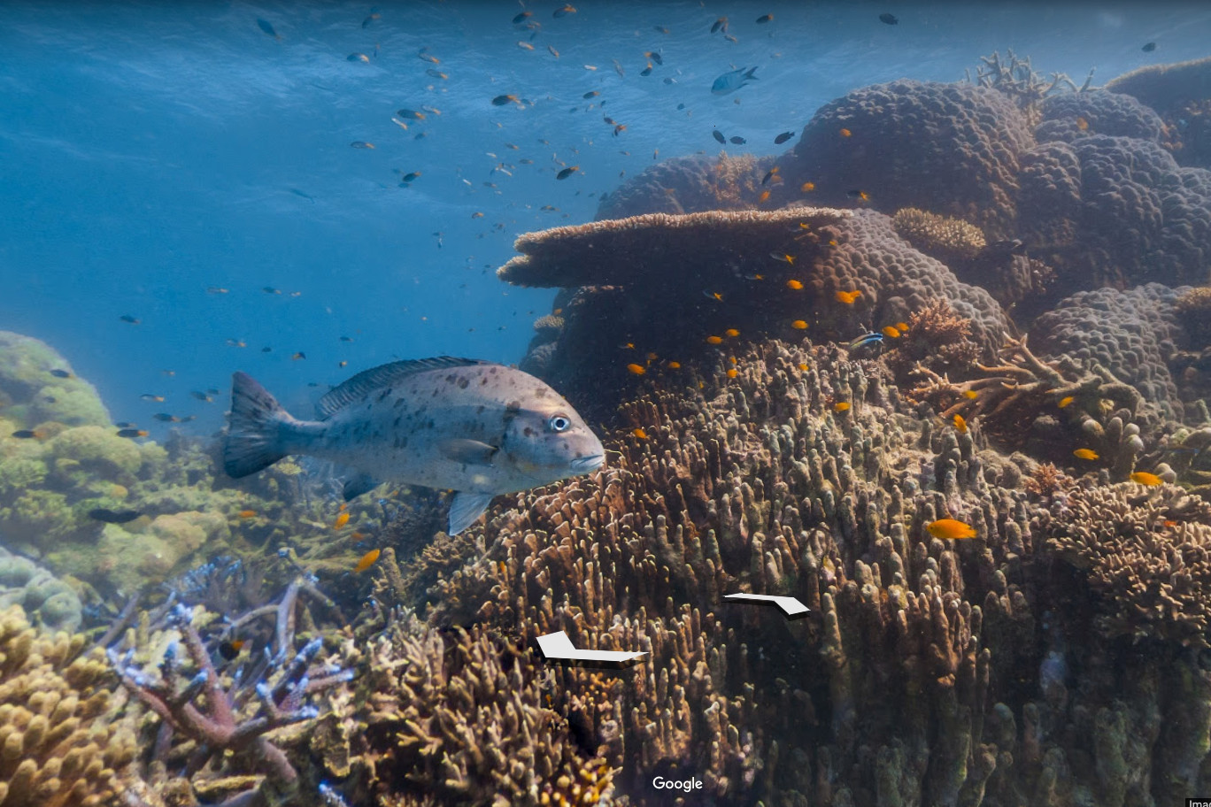
Turns out, you can use Google’s Street View for more than just exploring the actual street. Street View could already be used to explore underwater locations, but Google has expanded the feature to include a few new beautiful underwater destinations.
The new images, which are available in a Google Earth collection, aren’t just there to help people explore the beauty that’s under the ocean — they’re also aimed at reminding users of the impact that humans have had on the environment. Just as there are bright, vivid corals and beautiful underwater landscapes, the images also show bleached and dying coral, plastic, and so on.

“We hope our new underwater Street View images, available today in a Google Earth collection, will encourage people to fall in love with the ocean — both its beauty and fragility — and want to protect it,” Lorna Parry, co-founder and managing director of Underwater Earth, said in a blog post.
In particular, the new Street View images show off the Great Barrier Reef’s Lizard Island, and the New Caledonia coral lagoons. According to Google, both images show off vivid and clear colors, but the fact that the colors are fluorescing means that the corals are failing to protect themselves from a warming ocean. Other images include the “Million Dollar Point” in Vanuatu, which is where the U.S. Army dumped jeeps and bulldozers after World War II.
As Google notes, if you’re inspired by the beauty of the images in the new Street View collection, there are steps you can tale to help preserve it. For example, you can make an effort to reduce your dependence on plastic and buy sustainably sourced fish, which will help make for a more sustainable marine life.
You can check out the new underwater Street View images for yourselves, along with any other underwater images, in this Google Earth collection. They’re also available in a new Street View category in Voyager, which can be found in Google Earth for Android, iOS, and on the web.
Of course, Google may soon have some competition when it comes to Street View. At Apple’s Worldwide Developers Conference, the company announced that a Street View-like feature, called Look Around, would be coming to Apple Maps in iOS 13.

