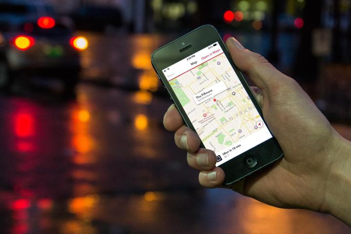
To knock its navigation system into shape, the app-based ride-hailing company has started sending out camera-equipped vehicles to capture street-level imagery of towns and cities across the U.S.
While that certainly sounds a lot like Google’s Street View, Uber is thought to be collecting the data not for a rival product offering sofa-based travelers the trip of a lifetime but to help provide Uber riders with more accurate ETAs, and also to improve the app’s routing technology so drivers can more easily avoid busy intersections and other challenging road setups.
According to BuzzFeed, which recently spotted one of Uber’s image-capturing vehicles in Florence, Kentucky, it could be a while before the collected data replaces Uber’s current maps, which draw on data provided by Google.
The appearance of camera-laden Uber cars on the streets of the U.S. follows news back in June that the San Francisco-based company had acquired part of the tech powering Microsoft’s Bing Maps, including around 100 members of the team that worked on the mapping tech.
Bloomberg reported at the time that the deal included a data center in Colorado, “as well as cameras, software and a license to certain intellectual-property rights.” Indeed, it’s believed the acquired gear, as well as the former Microsoft engineers, are part of the team behind the project to capture the 360-degree street imagery from across the country.
Of course, the collected data could also at some point come in handy for Uber’s self-driving car project, which is well underway at both the Uber Advanced Technologies Center in Pittsburgh and the University of Arizona.


